

The Plan: Monte Perdido or Bust
We had spent weeks planning the trip, throwing ideas around, holding meetings — with beer, Aquarius and crisps — to plan what to do, where to go, what alternatives we had in case the weather was not on our side, and what else we would do if we survived our first 4-person traverse together: Diego "Lúpulo", Ernesto "Druid", Joshua "Choba" and Saúl "Tritón". The objective was clear, and it was called Monte Perdido. The Cordada de los Cabrones had a mission. Go up, come back down, and live to tell the tale, which is always the most important part.

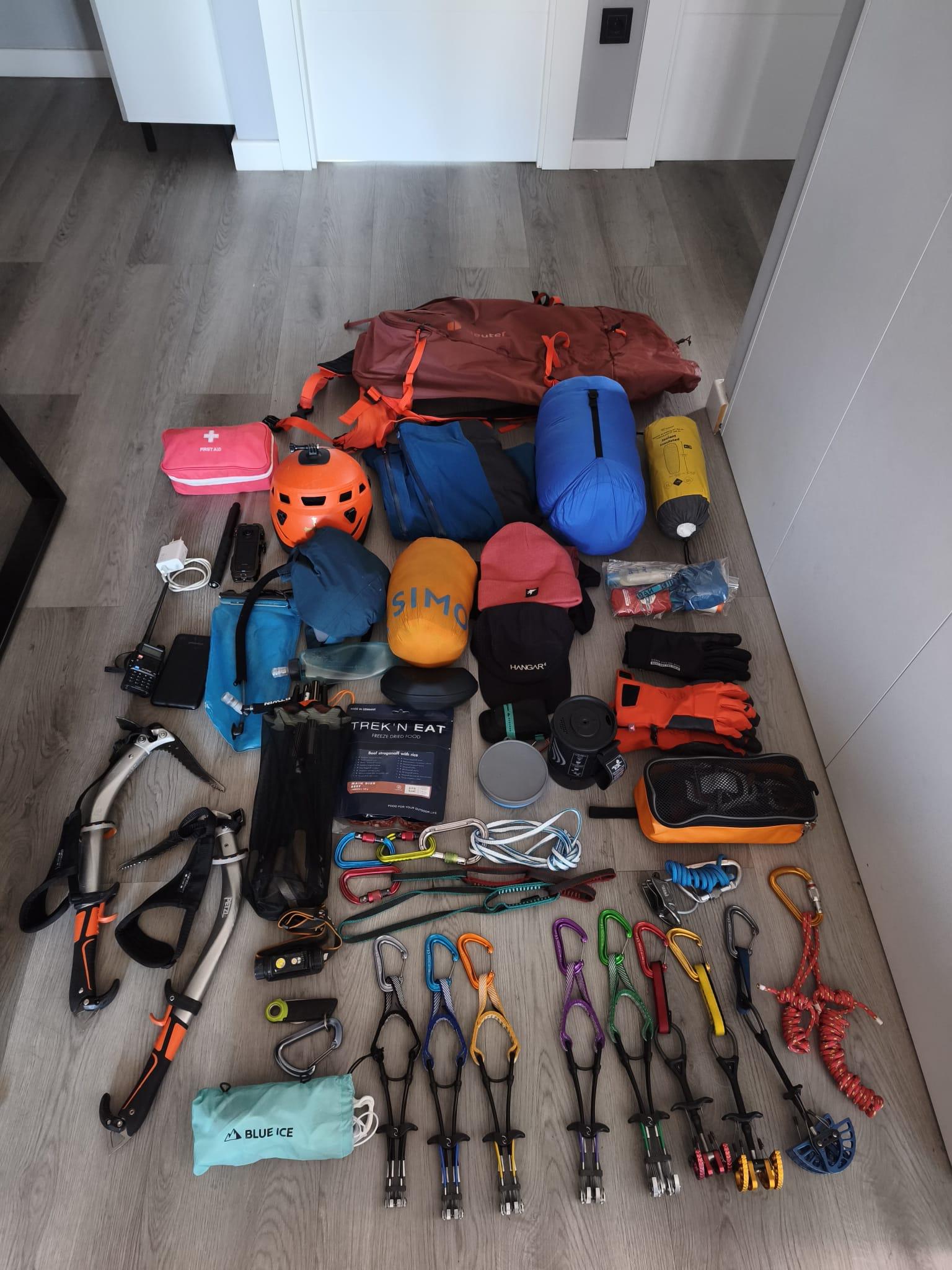
As for how to get up there, our thinking was basically: since we were going all that way, we might as well find the least comfortable and most punishing route within our capabilities. And Joshua absolutely nailed it: via the North Couloir. It was also the most exciting option, and the one that would give us the best excuse to justify all the gear we had been buying over the previous months.
So, on Friday the 29th of May 2026, we somehow managed to fit all the mountaineering, canyoning and climbing gear for 4 people, plus spare clothes, food and biscuits — lots of biscuits — into 2 cars. Those metal steeds would also be our bedrooms for the next week or so. Setting off from Asturias, and after a technical stop at La Leze cave in Álava to sleep and split the journey in 2, followed by an even more technical stop at Barrabés in Jaca to buy more gear, just in case we were not already carrying enough, we arrived in the Ordesa Valley, in the heart of the Pyrenees. There we had arranged a taxi that would take us to the Pineta shelter, in the Pineta Valley, where we would spend the night before starting the beating that was waiting for us.

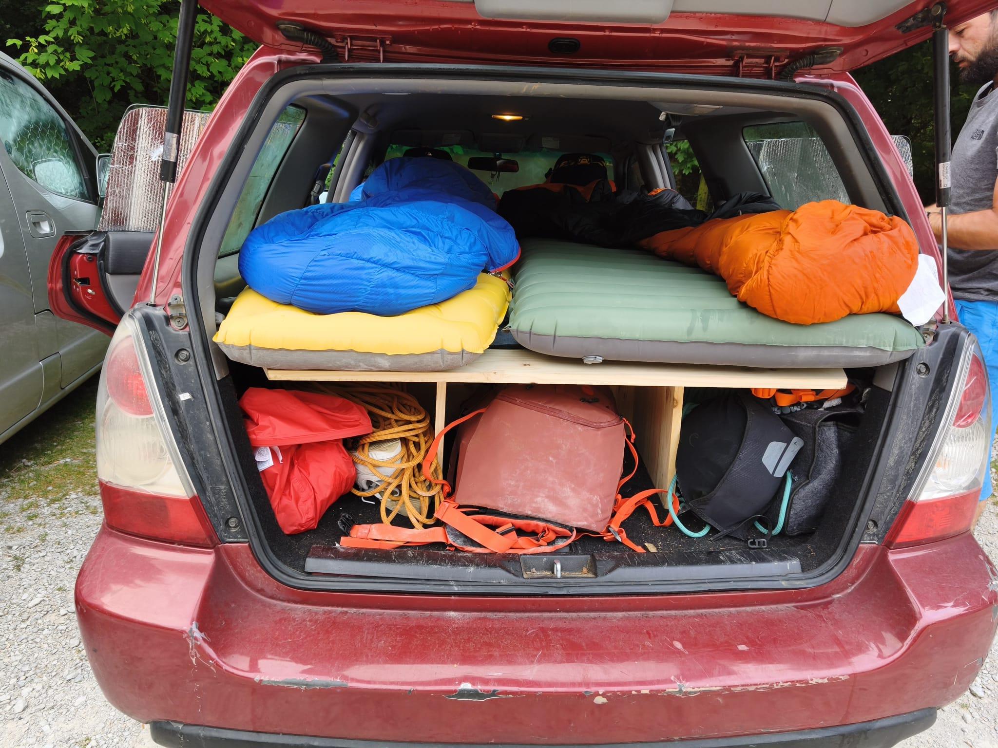

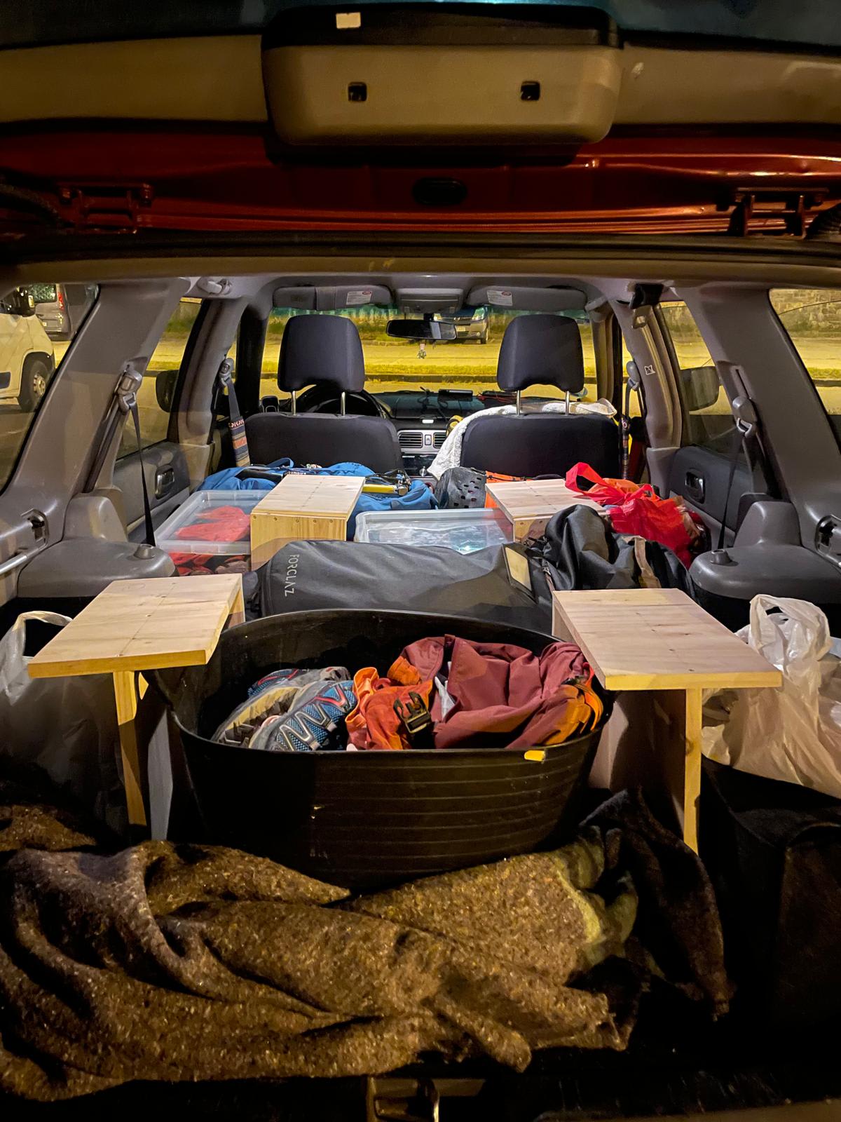
Everything seemed to be going our way, especially the most important thing: the weather. By then we already knew that, in the Pyrenees, storms tend to build up in the afternoon, and that could only mean one thing: getting up early. Luckily, that had never been a problem for the group. The warden at the Pineta shelter, who was not only a funny guy but also knew the whole area inside out, gave us some advice and recommendations about the route, along with a few last-minute tips. We had a solid dinner in the company of a very well-trained cat, clearly used to approaching people eating nearby in the hope that something might fall. Then we took some photos around the Cinca river, since the night was wonderful, and went to sleep. In my case, the only thing I regretted was how hot it was inside the shelter; I slept completely uncovered.
Day 1: From Pineta to Tucarroya
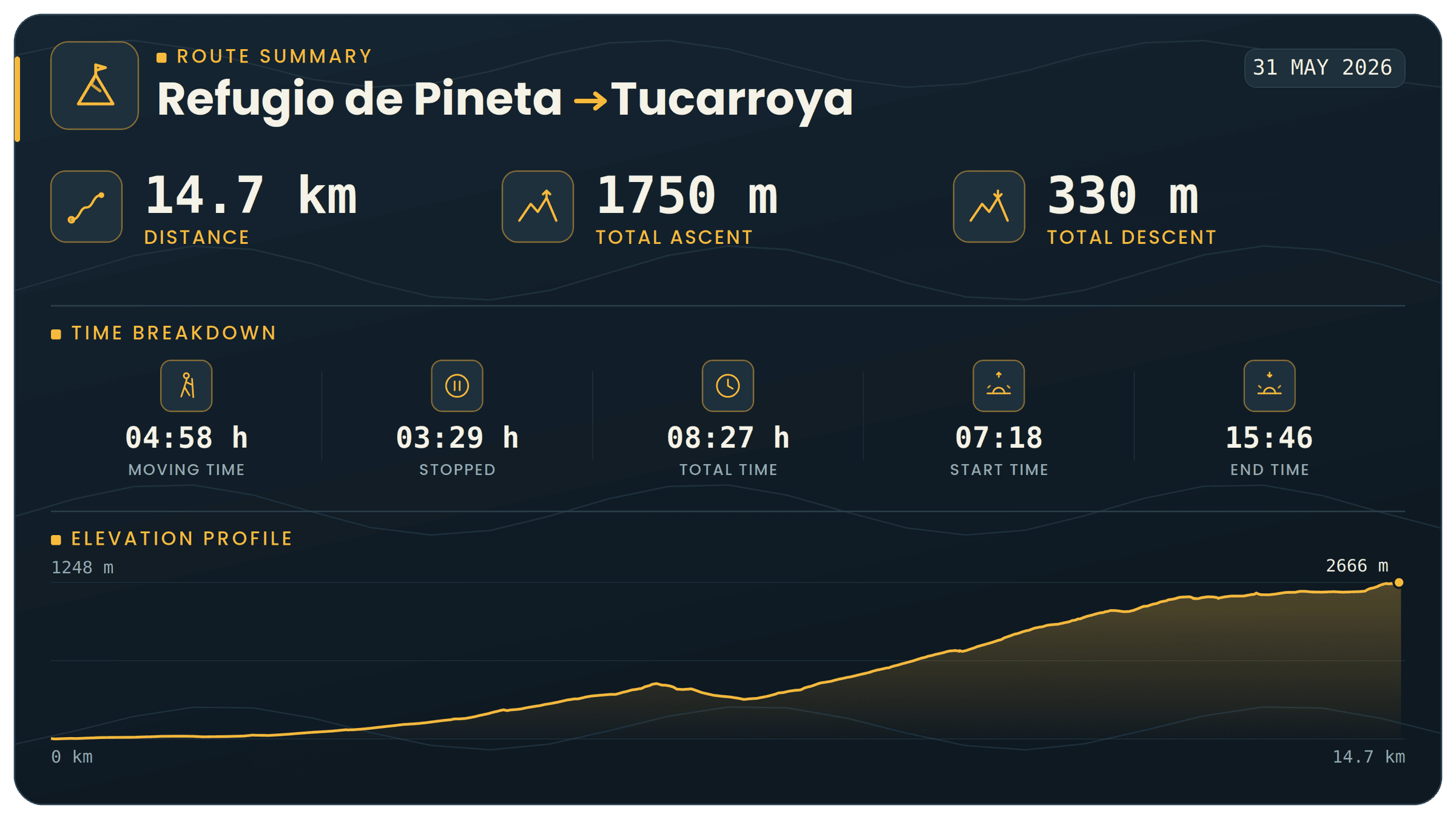
Time to start walking: 7 in the morning. Ahead of us were around 1,600 metres of accumulated elevation gain over 14km of route, carrying backpacks weighing somewhere between 17 and 22 kilos each. In other words, we had to take it easy, because we were starting the trip with the biggest elevation gain on the very first day. So the earlier we got going, the better.

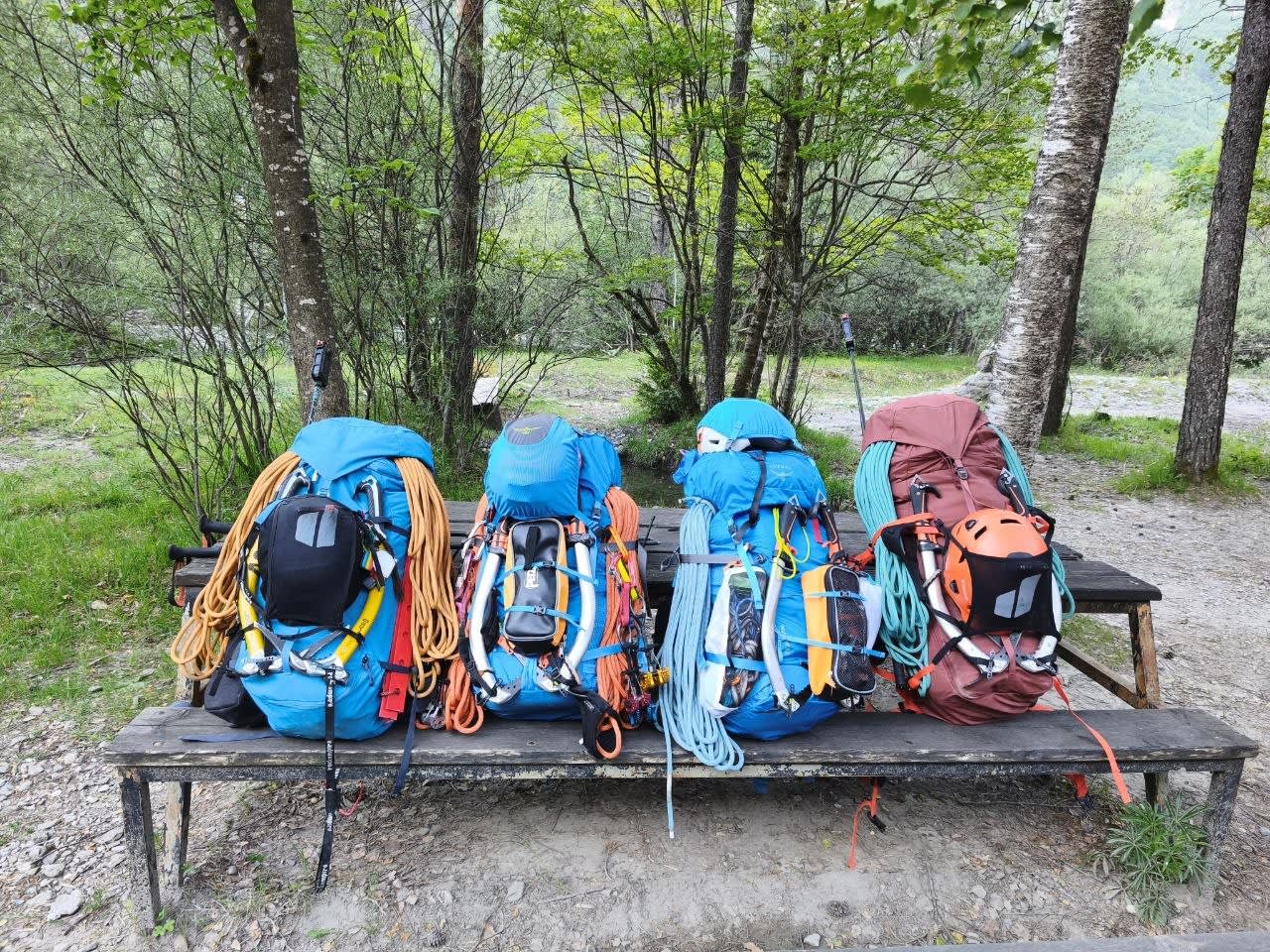
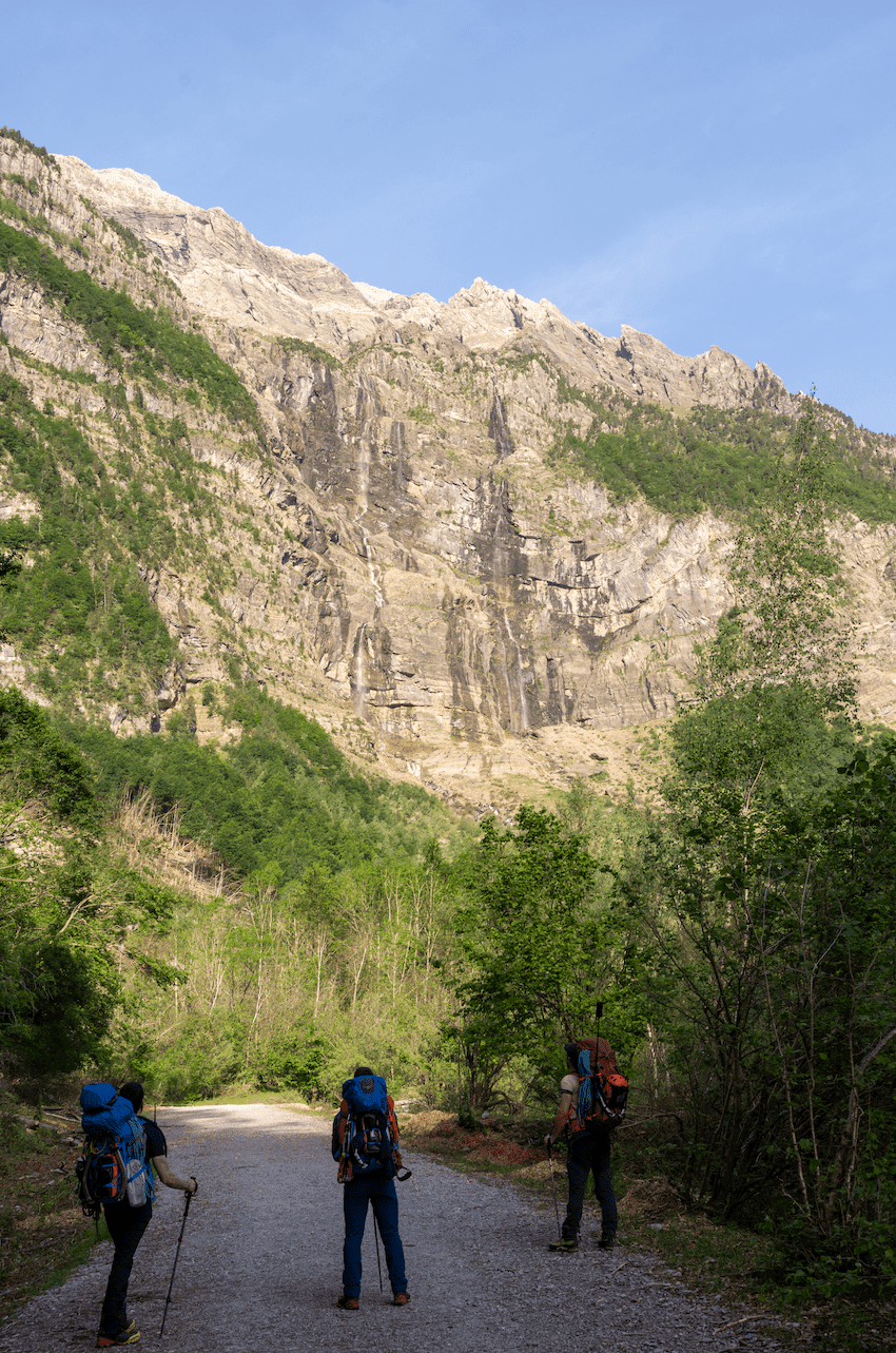
The day dawned completely clear. It was the 31st of May 2026, and we had to climb up to the Tucarroya free shelter. The start meant leaving the shelter and heading up the valley almost as far as the Parador de Turismo de Bielsa — where, several times throughout our traverse, we openly considered sacking the whole thing off, turning around and sleeping there instead — before turning left and starting the climb along a track through the forest.
Before the real climb began, we were able to admire the many waterfalls in the valley, while I quietly mourned the fact that I could not descend any of them due to the National Park regulations. Once we crossed the Cinca river over a bridge, the track I was following led us onto a path that slowly became more and more overgrown, until moving forward started to become difficult. It was clearly not the best path, but after a bit of going forwards and backwards, we found a more trodden trail and continued the ascent.

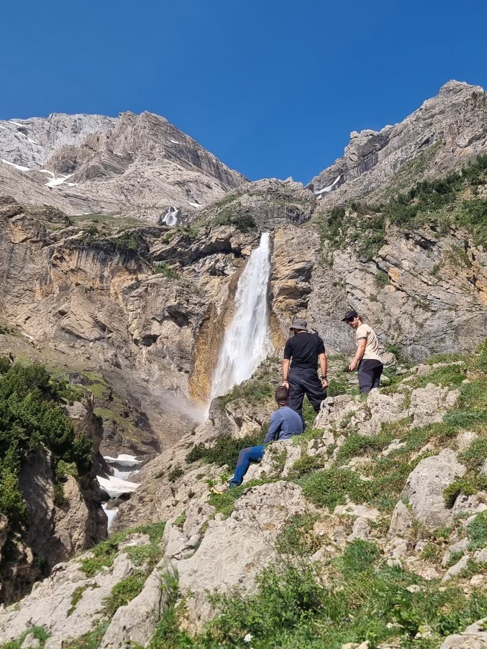
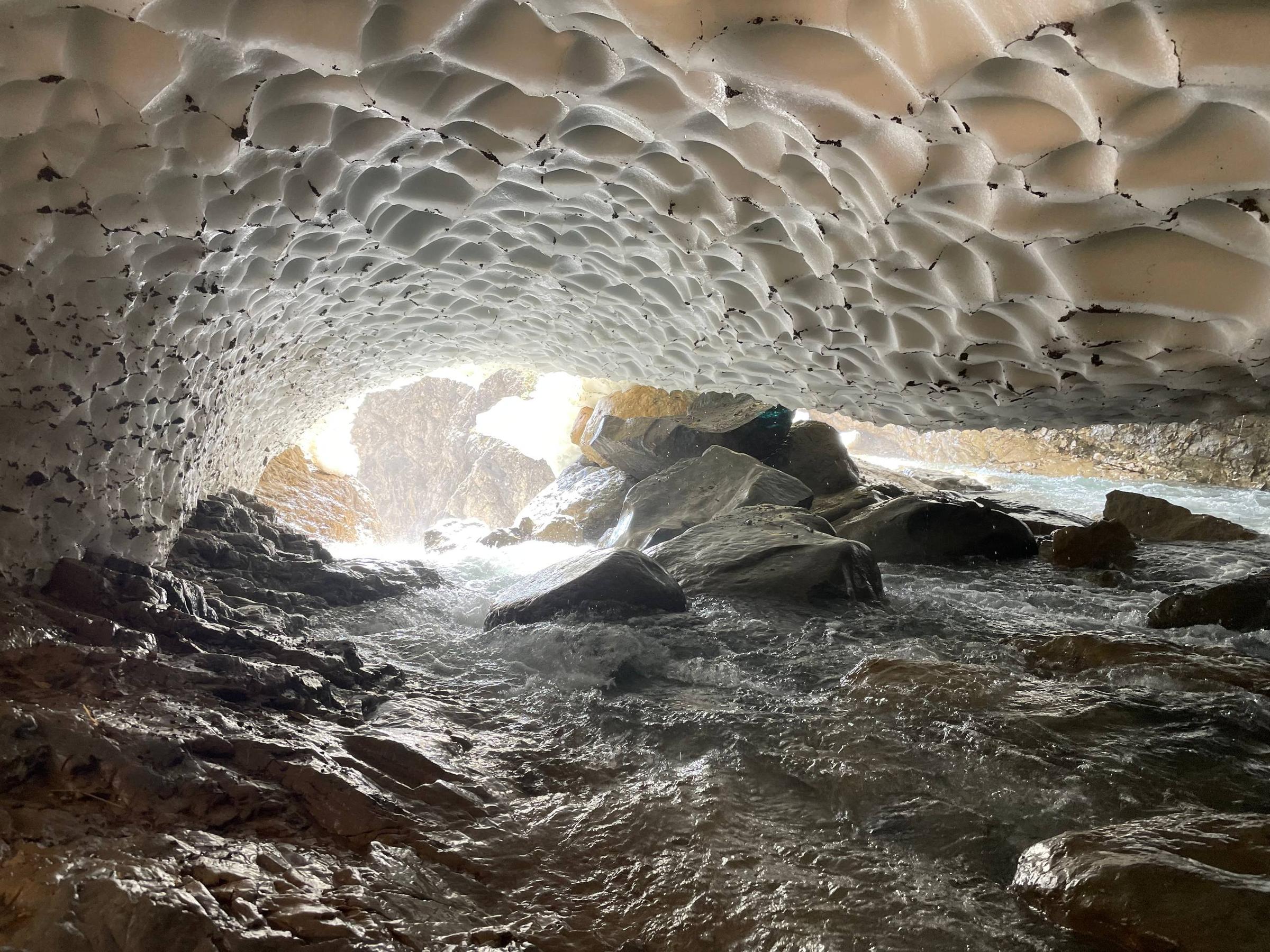
Halfway up, the sun was already hitting hard, so following Joshua’s recommendation, we left our backpacks by a spring that we claimed as our own, and went to get a closer look at the Cinca waterfall, which looked spectacular with all the snowmelt. Diego and I went a little higher up, where we had been told that the old walkway on the Faja de la Tormosa path had been washed away by a flood, and we saw how a huge snow bridge was still holding on despite the thaw. We ventured both over it and underneath it, and it was pretty incredible to see the water flowing below and the formations on the ceiling of the snow bridge.


The Slog Begins
Back with the backpacks, we continued climbing and entered what felt like a truly endless series of zigzags, the kind that slowly eats away at your morale. Every now and then Diego would shout, "Ernesto, bird", and Ernesto would immediately pull out his Pokédex to start logging all the wildlife we came across, while also teaching us the species, some details and extra bits of information that always made that damn climb a bit more bearable. We had to cross a couple of snowfields near the very top, and we did it without crampons because the snow was soft and there were tracks from previous days, so with walking poles we managed well enough. Eventually, we reached the flat area where the Ibón de Marboré sits, at almost 2,600 metres above sea level.

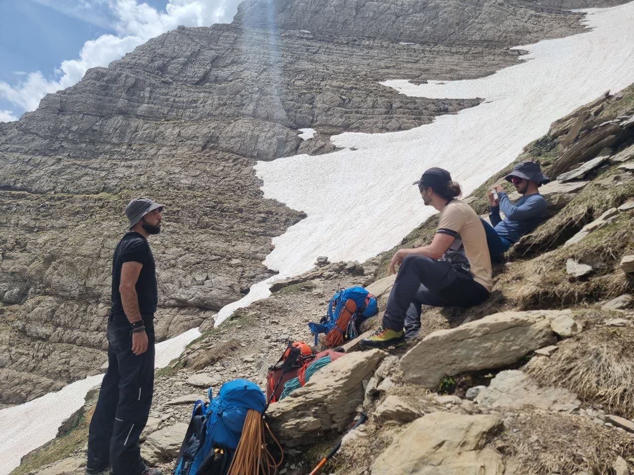
We bumped into a few people coming down after spending the night at the shelter and asked them about the condition of the North Couloir, which was the route we intended to climb the next day. Their answers were not exactly encouraging. Most told us the snow was in very poor condition, that they had not made it, and that they had turned around after the first couloir. The last couple we met, however, told us they had summited Monte Perdido, which gave us a bit of reassurance. We told ourselves that, in the end, these things are always a matter of opinion: what one person calls terrible snow might not seem so bad to someone else, and we had certainly seen worse before.
The whole plateau was now completely covered in snow, so we put on our crampons and headed towards the shelter, already quite tired and very much ready to arrive. Before reaching the lake, we took advantage of some snowmelt waterfalls and, thanks to Diego’s idea, filled up with water instead of having to melt snow as originally planned. And so we did. We found a decent one, and yours truly volunteered to take the first ice-cold snowmelt shower while filling the CamelBaks. Given how hot I was, I actually appreciated it quite a lot.
The Final Push Nobody Asked For
In the end, we did not dare cross the Ibón de Marboré. Even though it still had a thick layer of snow and ice, cracks and patches of open water were starting to appear, so we went around it instead. That brought us to what, in my opinion, was the trickiest part of the route. Because just when you think you are done, when there are only 50 metres of route left to reach the shelter and you feel like it is already in the bag, you suddenly see the climb up to the shelter. And it is another 50 metres of elevation gain, or maybe more. And what a climb it is: broken terrain, loose rock, all while you are already knackered and trying not to take a nasty fall right at the end of the day. But we were there, we had climbed up, and we had completed the first route successfully.

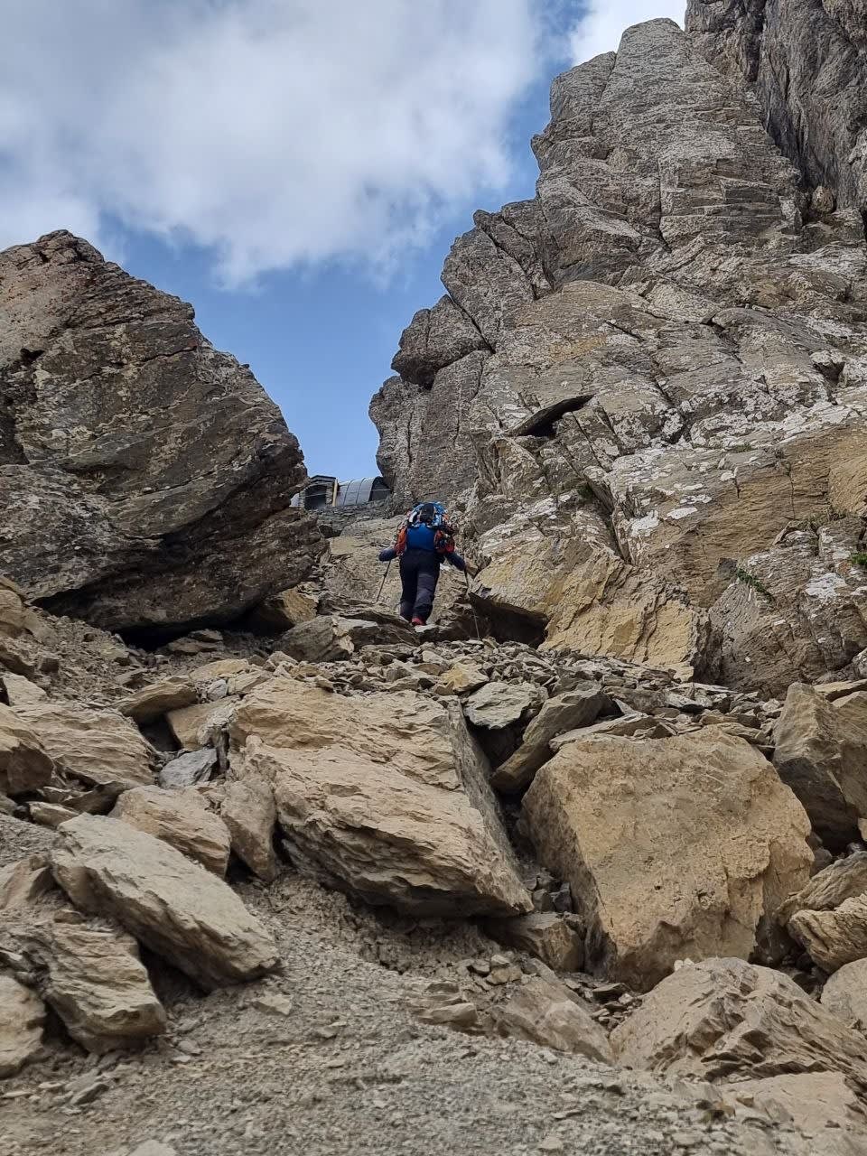
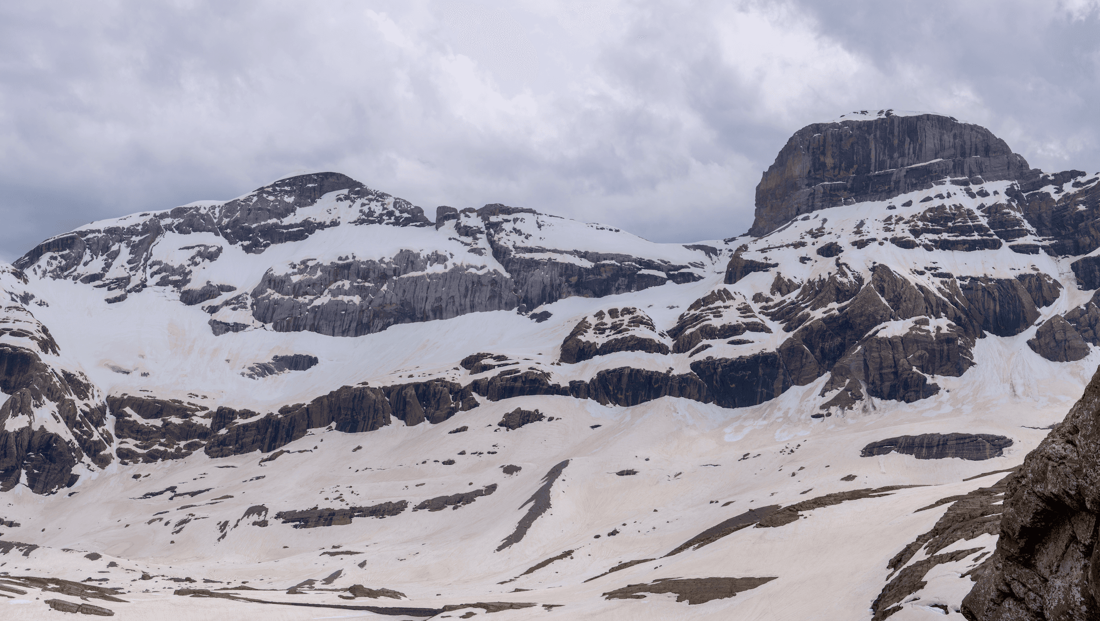
Taking off the backpack was a relief that is hard to describe, and the views towards Monte Perdido and the Cilindro de Marboré were absolutely stunning. We had more than enough time to eat, get our sleeping bags out, and make ourselves comfortable in the Tucarroya shelter, which was actually in really good condition. Mattresses, blankets, a spacious table to eat at, benches, a fireplace with firewood... The only thing we regretted was the bloody climb up to it, and we kept asking ourselves, "Who the hell thought it was a good idea to put the shelter up there?"
Nap Time, Dinner and New Company
After eating, and since the sun was hitting the whole shelter, we took the mattresses outside and had an absolutely glorious nap. After the nap, Gerard arrived, a really nice guy from Zaragoza who had come to spend the night at the shelter and with whom we shared dinner, chatting about this and that. We warned him that one of us snored a lot — me — and that the next morning we would do our best not to mess with his sleep too much, since our plan was to wake up at 5 in the morning to catch the snow in the best possible condition. But he was clearly used to mountain life and had already come prepared with earplugs.

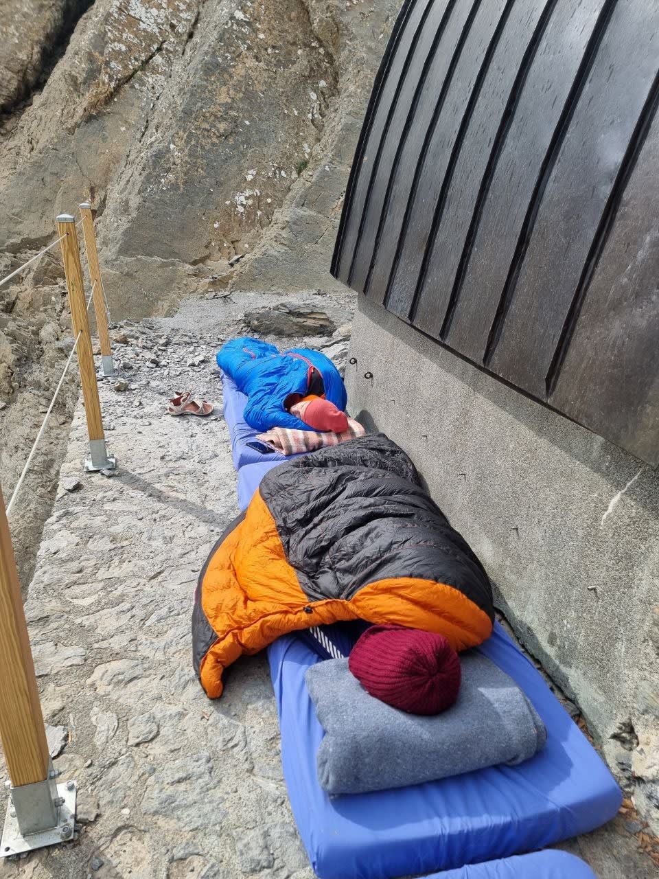
We were completely out for the count, to be honest. I do not remember whether it took me 5 or 10 seconds to fall into a coma. The next day would be summit day, and all 4 of us were pretty excited, especially after the initial beating we had just taken.

Tracks, Final Route and Waypoints
Below are the tracks we had planned and the final route we actually followed, in case they are useful for anyone planning something similar, along with a few useful waypoints.
360º Video
Here is a 360º video summary of the route, where I have marked the most interesting points we recorded with info cards, along with an overview of the route. Remember that on mobile you can use your fingers to move around the video, on a TV you can use the remote control, and on a computer you can use the mouse to look around.

360° videos must be watched directly on YouTube — embedded players don't support interactive 360° viewing.
Watch on YouTube


